Waterline
Water Visualization App
OVERVIEW
Pittsburgh's water issues revolve around an abundance of rainwater: Where does it all go, and what does it carry with it? Flooding, sewage overflow, and industrial pollution are critical issues for a city that prides itself in its rivers.
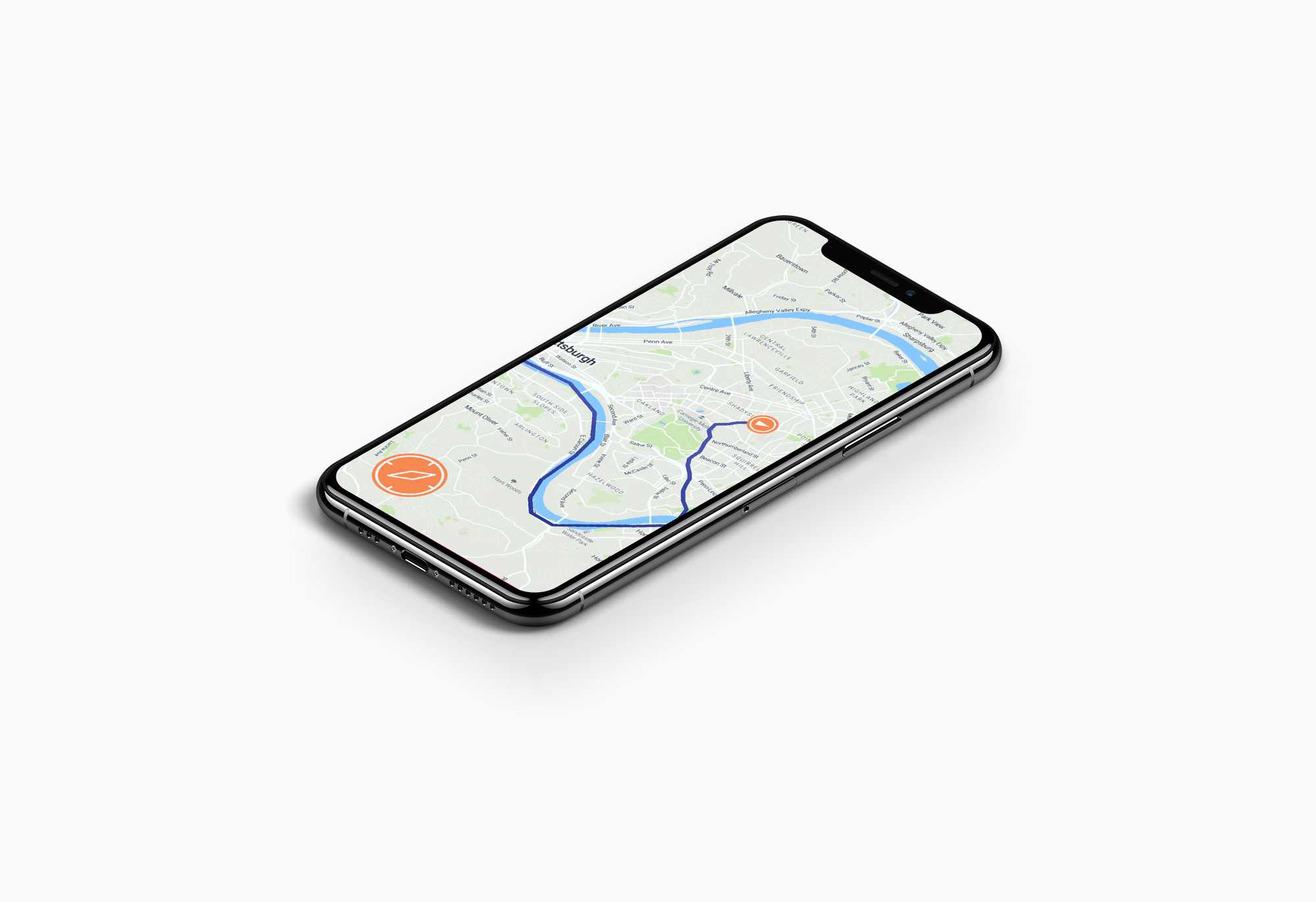
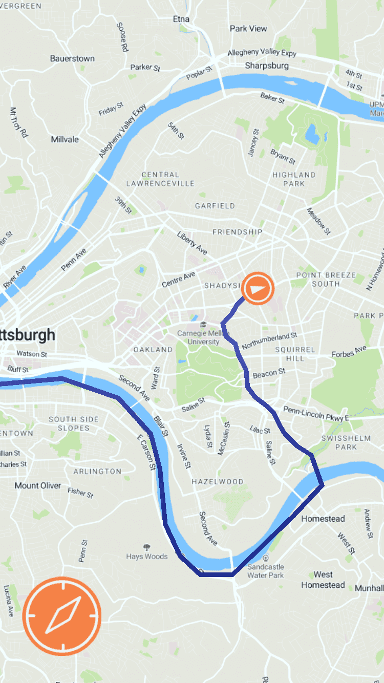
“Waterline” is a mobile app that encourages responsible water use by showing users who is affected by the downstream journey of their water. The app draws a line that starts at the user's current position and travels in the direction that water and contaminants would flow downhill to reach the nearest river.
FINAL PRODUCT
BACKGROUND
Flooding and Pollution in Pittsburgh
Pittsburgh's civil servants, local leaders, and artists have for a long time tackled flooding and pollution in the city's water system.
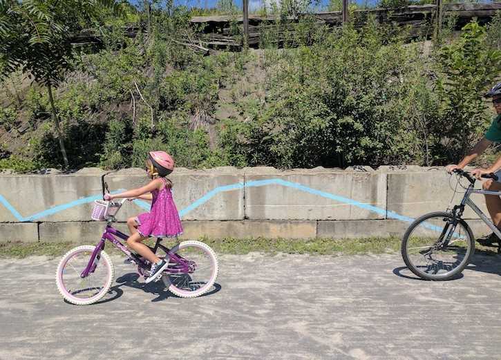
Waterline was specifically inspired by Zachary Rapaport's Water Walk in Larimer, PA (2019) and Ann Tarantino’s Watermark (2019) in Millvale, PA. Both artworks chart the flow of water through two of the neighborhoods hit hardest by flooding in the city, raising awareness for the impact of this issue in our daily lives.
But the question of how water moves through our neighborhoods during a flood can also answer the question of where it's picking up pollutants along the way.
TECHNOLOGY USED
Built in Unity with Mapbox SDK
Waterline features two main screens:
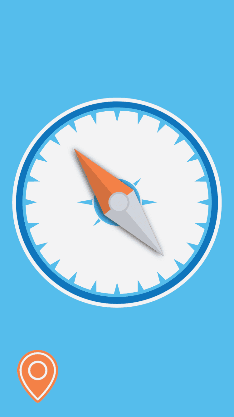
The compass directs the user downhill from their current location.
The map shows teh user the path charted from their current position downhill to the nearest river.